After 5 weeks in the Marquesas, we were finally heading to the next island ground in French Polynesia, a group of atolls that comprise the Tuamotu Archipelago. At just over 400 miles, the trip was estimated to take about 4 days, which seemed like chump change compared to the 25-day trip across the Pacific. Normally any overnight trip would leave me wrought with anxiety in the days leading up to it, but for the first time I didn’t have that worrying voice in the back of my mind.
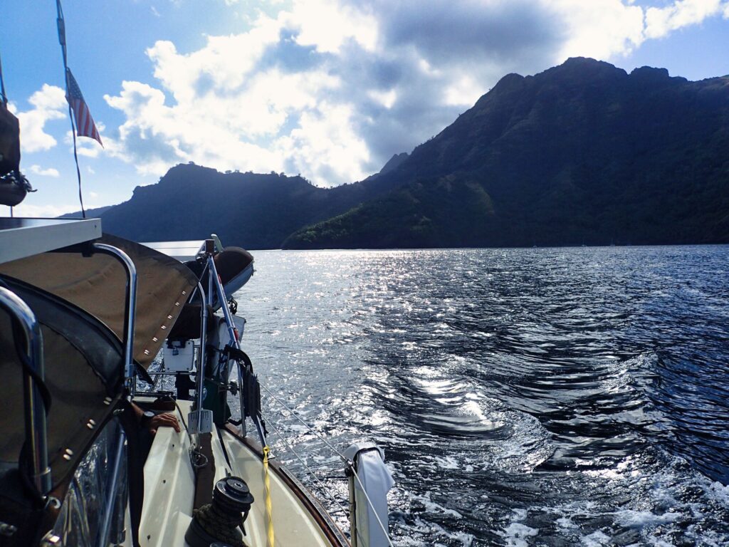
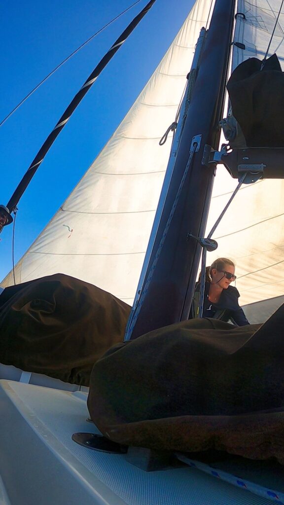
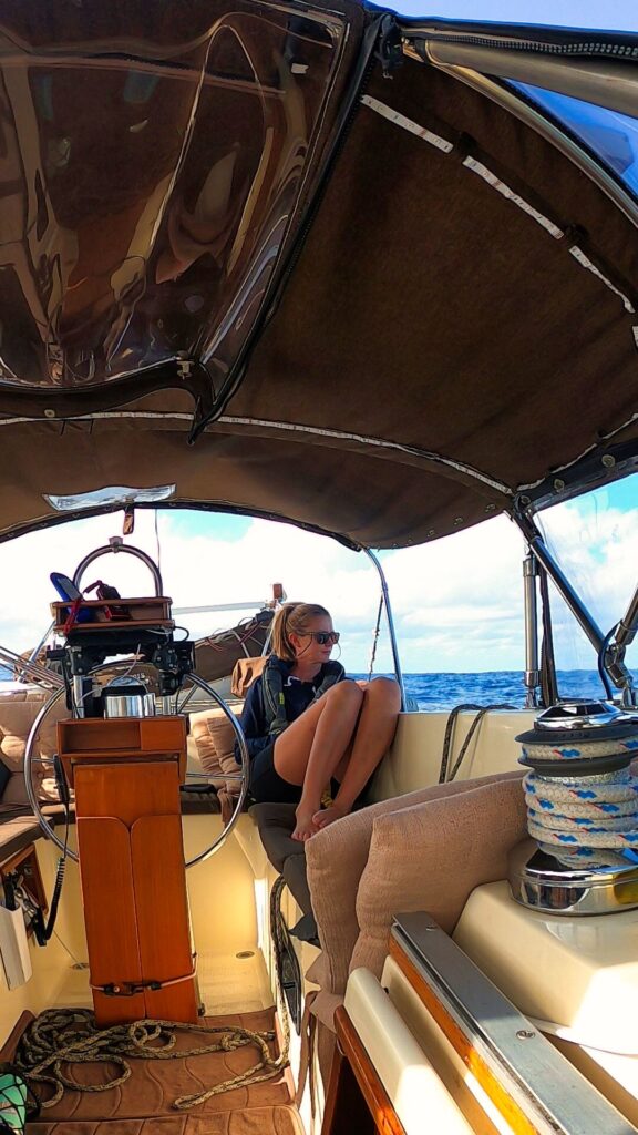
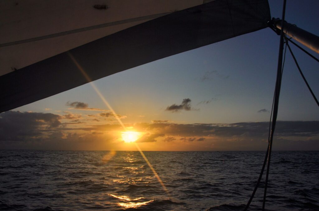
We set out in the morning and motored until we were out of the lee of Tahuata and able to set the sails. Once underway, we discussed watch schedules and preferences and I decided to take the same 3-6 am and pm slot that I had for the longer crossing. I like the peace and calm that can be experienced just before sunrise and sunset. It was a beautiful day out and the conditions remained ideal for downwind sailing with a constant 10-15 knot wind and minimal swell.
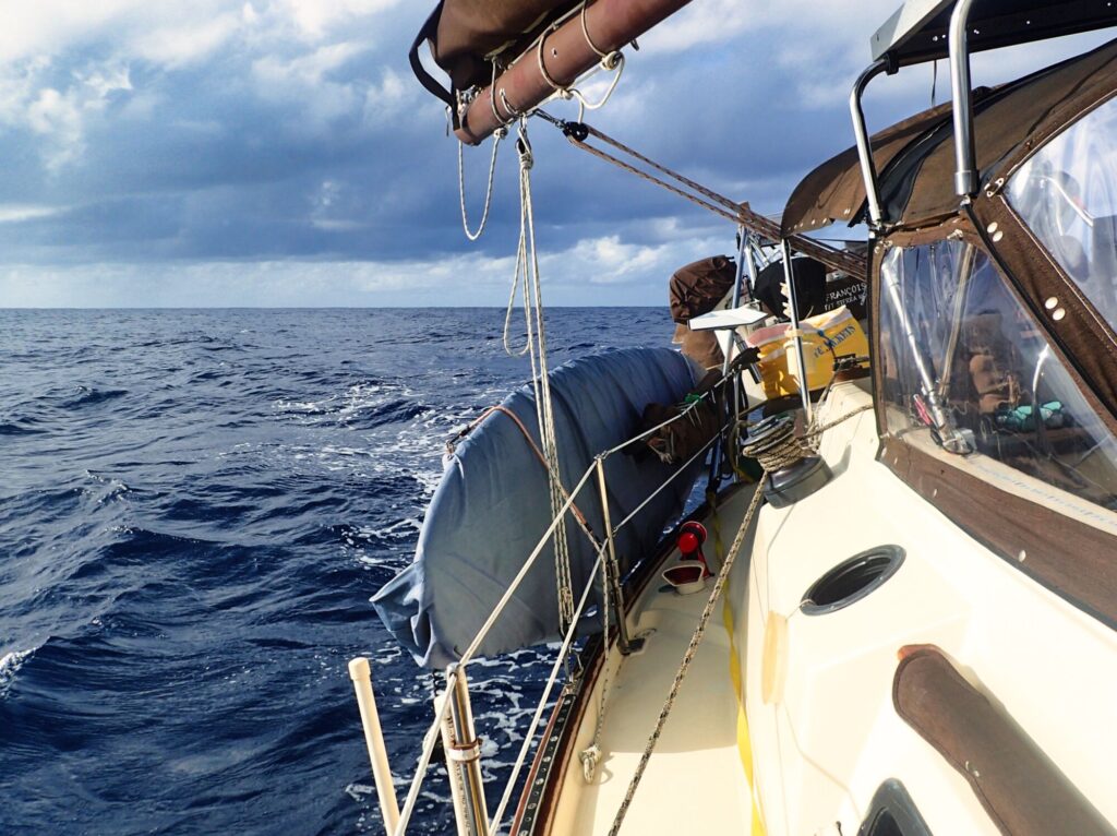
In hopes of picking up some speed, Eitan decided to rig the larger headsail like an asymmetrical spinnaker, instead of completely swapping out the sail on the furler. With significantly more area than the normal headsail, we were going faster and making good time for our first day. My afternoon watch was uneventful as I stared out at the horizon, listening to a podcast. We planned to take the big sail down at the end of my watch since it’s a safer practice to have less sail up at night in case of any unexpected storms. Just as the sun began to approach the horizon, I saw the entire sail collapse in front of me, falling gracefully into the water. Oh dear!
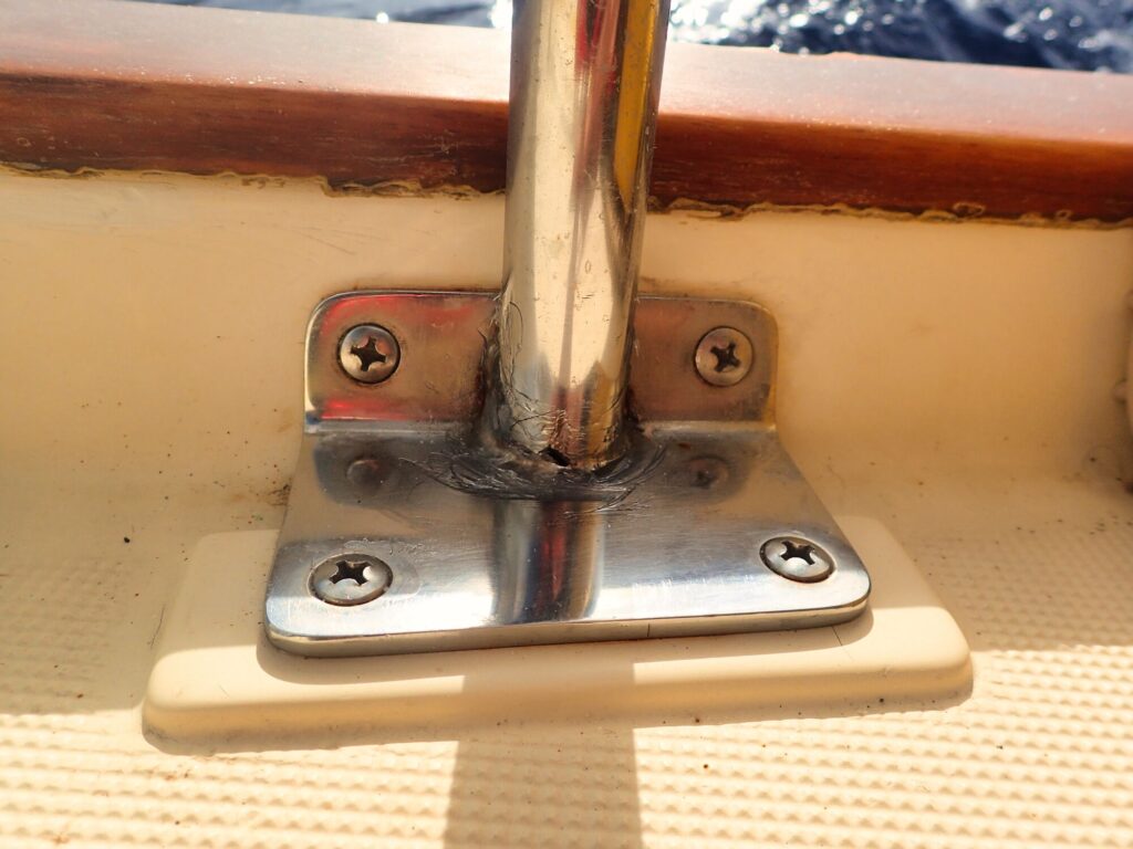
I pounded furiously on the roof of the cabin to alert Eitan who thew on his PFD and we ran to the bow of the boat. We did our best to pull the sail onboard but it was soaked and HEAVY, I was struggling to get a good handle on the wet fabric. I heard a cracking sound and prayed the stanchions and lifelines weren’t going to get ripped off of the boat under the weight of the sail. Eventually we got the sail onboard and were able to assess the damage. It seems the whisker pole, the pole that runs perpendicular to the mast to keep the sail open, had slammed down on the paddle board and cracked one of the stanchions used to support the paddle board rack. Considering the potential severity of the situation, we got pretty lucky and the damage was minimal.
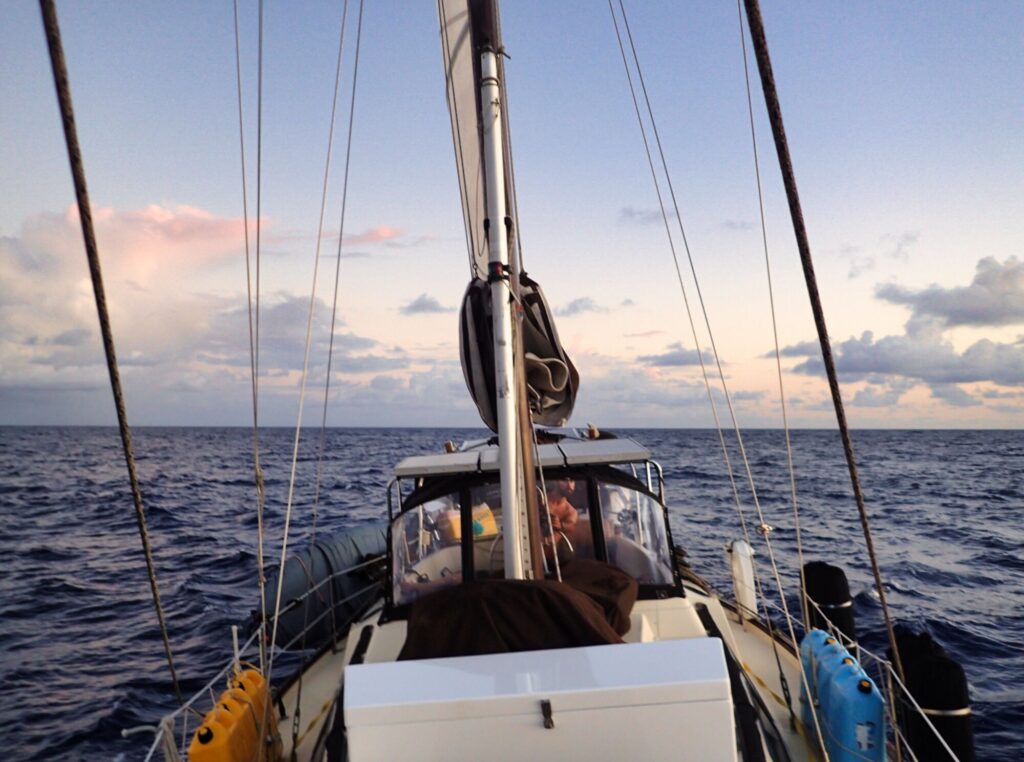
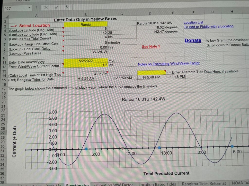
The rest of the passage was incredibly nice, calm and, thankfully, uneventful. The wind was consistent and swell minimal, making for a really easy trip. Since it was so calm, I finally dug into the tide planning tool that Eitan tasked me to learn. The Tuamotus are a group of atolls that look like rubber band shaped islands, an outer coral reef island encircling an open lagoon in the middle. Most islands only have one or two passes to enter into the central lagoon and just a small tidal change can move a lot of water in and out through the pass. A few years ago, some cruisers developed a spreadsheet to estimate the time of slack tide at each atoll in order to enter the pass with minimal current. Timing the entry is vital and can be dangerous under certain conditions. The current and wind can cause breaking waves in the pass and we heard a number of stories and had seen several pictures of boats losing control and running aground on the adjacent reef.
As the passage went on and as we approached our destination, it seemed we should make it through the pass at the 6am slack tide the next day. Since I had the 3-6 am time slot, we would be arriving during my watch. Around 5am I began seeing the shape of land on the radar but couldn’t see a single thing on the horizon. It was still dark, but I expected to see some lights or at least some kind of outline of land. As the sun began to rise, I could barely make out the silhouette of palm tree clusters and was surprised to find the land barely reaching above the water with hardly any visible elevation. Since we arrived a little earlier than planned, I put the motor into neutral off and on to slow us down for the final approach. I woke Eitan up around 6am when we were a mile from the entrance into Raroia Atoll.
The pass was much wider than I expected and we couldn’t have asked for calmer conditions to enter. It was an easy motor through with minimal current. Now we needed to try a new navigational technique since the center lagoon is filled with shallow coral patches called “bommies”, which is an Australian term for an outcrop of coral reef, often resembling a column. Since it was early morning and the sun was still low, it was impossible to see anything below the surface. Luckily, I had also been tasked with learning to use a program called Open CPN, which is a free chart plotter than uses satellite imagery. So, I opened up my laptop and pulled up the maps for Eitan to use, navigating around any potential obstructions. As the sun continued to rise, we saw these bommies for the first time. They are relatively easy to see under sunny conditions and appear as patches of shallow turquoise water surrounding a reef.
It took about an hour to transit across the lagoon to our first anchorage where 3 boats were already at anchor. We dropped our hook and took in the incredible views that surrounded us. The atoll looks like a giant rubber-band on Google Earth but from the water it just looks like a never-ending string of palm tree filled islands. Looking down, the water visibility was the best we had seen yet. This paradise was going to be our home for the next 6 weeks!